
Styria | General Information & Attractions Map

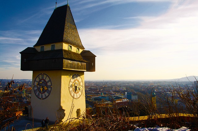

The state of Styria is located in the southeast and borders Slovenia, Lower Austria , Upper Austria , Carinthia , the state of Salzburg and Burgenland . Settlement in this area dates back to the Celts and control of the area has changed hands many times between different empires and rulers. The state was named after the Styrian dynasty that ruled the area in the 10th century AD. The capital of the state is the city of Graz . The state has a population of about 1.3 million.
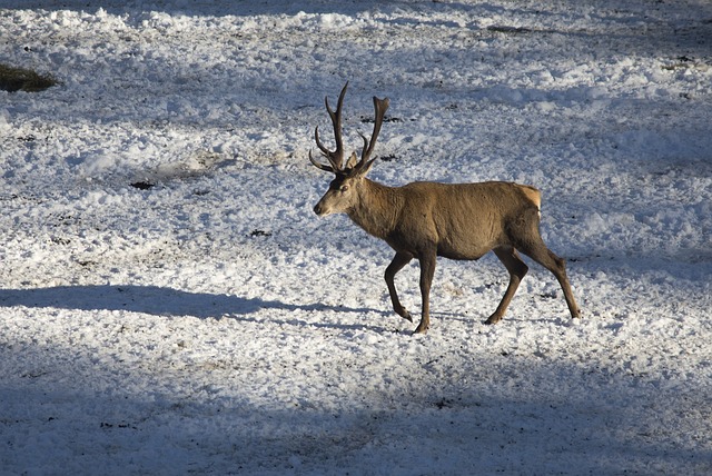
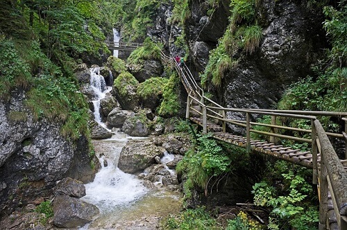
The landscapes of Styria are incredibly beautiful, filled with bright green, dense forests and mountainous terrain. This state is known for its wine, castles and wonderful spa resorts.
You can use the map of attractions to see their exact location in the state of Styria. By clicking on each attraction you will see a link to the information page about it in Hebrew. You can also view the map directly on Google .