
Lower Austria | General Information & Attractions Map

The state of Lower Austria is located in the northeastern part of Austria on the border with the Czech Republic and Slovakia. The state has a population of about 1.7 million. The capital of the state is the city of St. Pölten. Before the World War, this state had the largest concentration of Jews in all of Austria.
The wonderful nature, impressive mountains, spa complexes, thermal springs, cultural and historical sites make Lower Austria an attractive destination for day trips for those traveling in Vienna or for those coming to Austria from Slovakia or the Czech Republic.
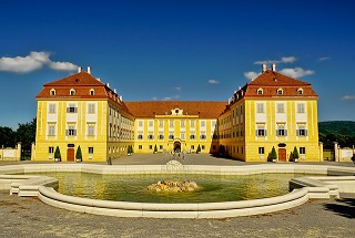
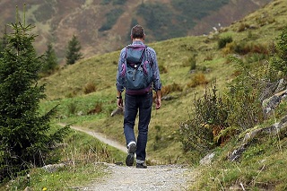
In the southern part of the state of Lower Austria lies the Viennese Alps, which include beautiful peaks such as Schöneberg, Rex and the “High Wall”. These areas can be reached on a guided day trip in Hebrew from Vienna. Read more about a scenic trip to the Viennese Alps.
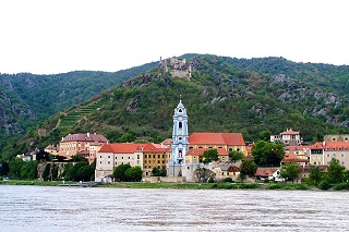
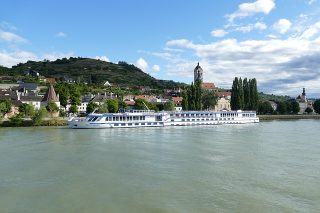
Another great place in Lower Austria is located west of the city of Vienna . This is the impressive Wachau Valley, which is considered a World Heritage Site. The Danube River flows along the valley and on both sides there are many hills covered with vineyards and other crops. The wine, ancient villages and spectacular views make this area one of the most popular for travelers in Austria. You can visit this area as part of a day trip from Vienna with a guide in Hebrew. Read more about the Wachau Valley Wine Tasting and Views Tour.
You can use the map of attractions to see their exact location in the state of Lower Austria. By clicking on each attraction you will see a link to the information page about it in Hebrew. You can also view the map directly on Google .