
Burgenland | General Information & Attractions Map

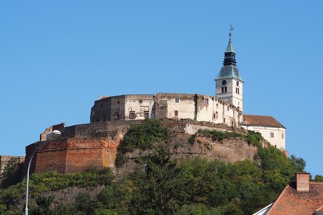


Burgenland is the easternmost state of the Republic of Austria, located south of Vienna and bordering Hungary, Slovakia , Slovenia, the state of Styria and the state of Lower Austria. It is one of the smallest of the nine states and is not densely populated. The state has a population of about 290,000. The state capital is the city of Eisenstadt .
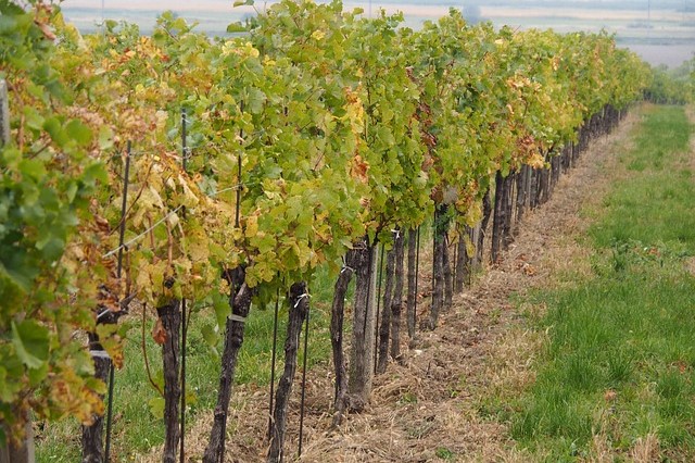
In terms of scenery, you should not expect high mountains and many hills, in fact most of the country is flat and low. The highest point in the country is at 879 meters above sea level and the lowest place in all of Austria is also located there (114 meters above sea level). The largest lake in Austria is in Burgenland and is called Neusiedler See . In the lake area there are vineyards and wineries that produce local wine.
If you are interested in discovering the Burgenland region in an experiential way, it is worth joining a day trip from Vienna with a guide in Hebrew. This trip includes a visit throughout Burgenland, a local winery, shopping in the historic capital of Burgenland, which is now in Hungary, and more! Read more about the experiential trip from Vienna – “Austro-Hungary”.
You can use the map of attractions to see their exact location in the state of Burgenland. By clicking on each attraction, you will see a link to the information page about it in Hebrew. You can also view the map directly on Google .