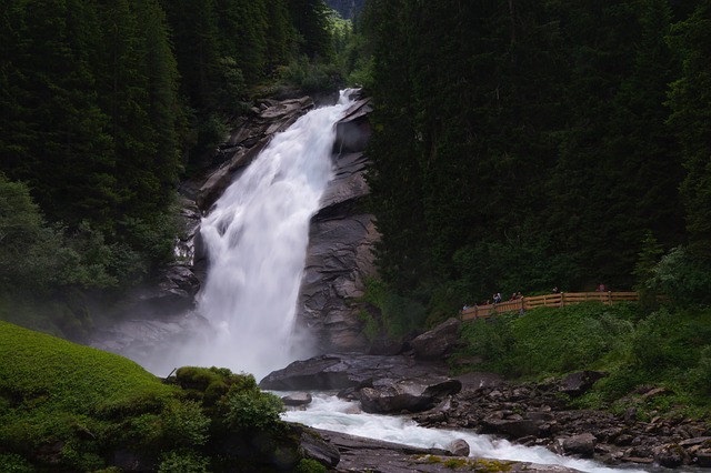
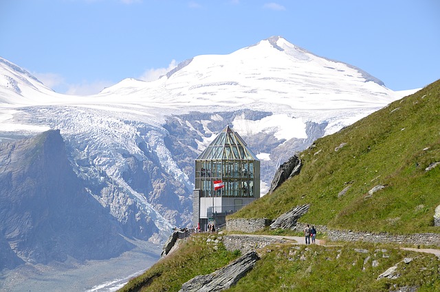
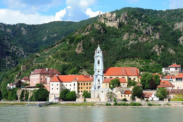
The map of Austria includes the best of this wonderful country. This map clearly and concisely presents all the recommended attractions in all nine of its federal states: Vienna, Salzburgerland, Tyrol, Lower Austria, Upper Austria, Burgenland, Carinthia, Styria, and Vorarlberg. The map is packed with enough attractions for dozens of trips across the country. To be more focused, you can use the summary we have prepared on the recommended attractions and places in Vienna, Salzburgerland (the state of Salzburg), Tyrol, or Carinthia.
You can open the map of Austria in a full window by clicking on the icon on the right side of the map and navigate between the markers on the map by opening the markers bar by clicking on the icon on the left side of the map. Within most of the markers on the map, there are links to more detailed information in Hebrew about the attraction, museum, gallery, or accommodation. You can open the map directly in Google – click here.

